Tracking Earthquakes and Volcanoes
Part I: Tracking Earthquakes
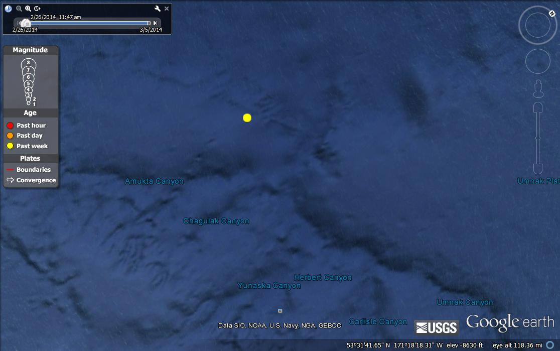
Earthquake 1: Magnitude 5.9, location Fox Islands, Aleutian Islands, Alaska. Date: Wedneday February 26, 2014, at 11:13 am, Depth 162.8 miles.
I believe this is an oceanic-continental plate boundry because it is located in the ocean away from the islands, as well as it's depth.
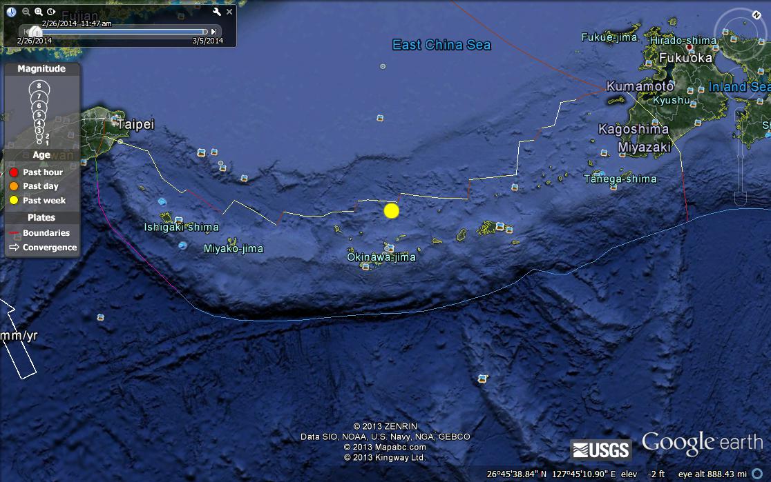
Earthquake 2: Magnitude 6.7, Location Ryukyu Isalnds, Japan. Monday March 3, 2014 at 5:11am. Depth 79.16 miles.
I believe this is a oceanic-oceanictectonic plate boundary because it is located in the ocean further away from the islands.
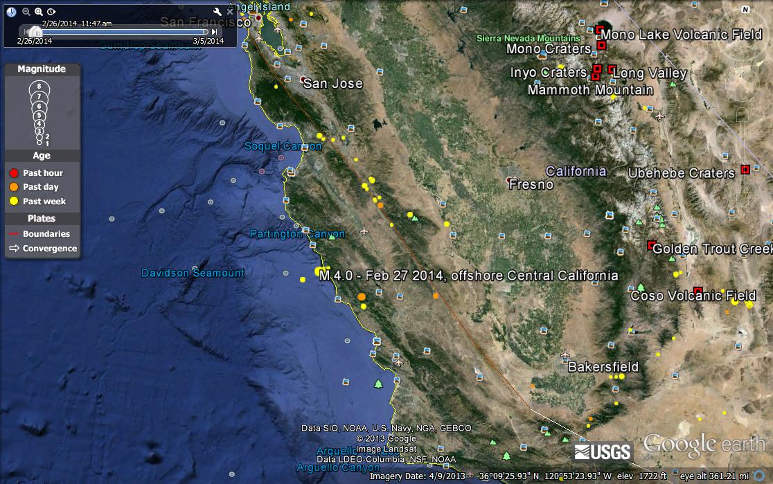
Earthquake 3: Magnitude 4.0, Location offshore Central California. February 27, 2014 at 10:52 am. Depth of 6.09 miles.
I think this was an oceanic-to-continental tectonic plate boundary because it is located along the shore line of California, where the ocean meets the land.
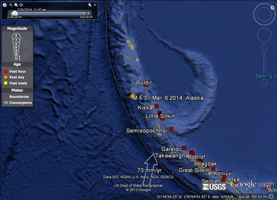
Earthquake 4: Magnitude 5.3, Rat Islands, Aleutian Islands, Alaska. March 5, 2014 at 5:24 pm. Depth of 26.10 miles
I think this is a an oceanic-continental tectonic plate boundary because I can see the continental plate on one side and the oceanic plate on the other side.
PART II: Identifying Volcanoes
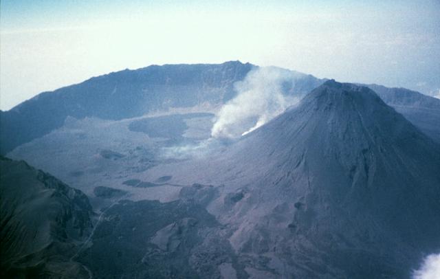
Composite Volcano: FOGO, it is a hotspot volcano.
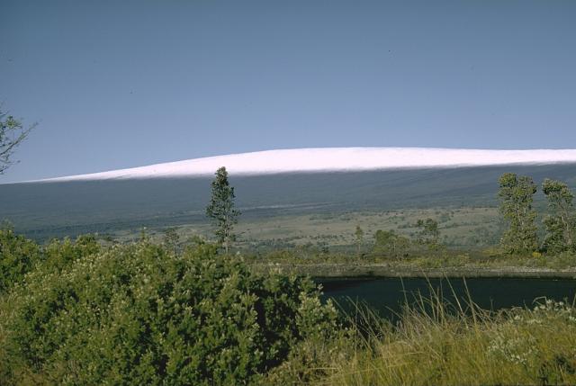
Sheild Volcano: Mauna Loa, This is also a hotspot volcano.
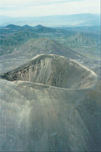
Cinder-cone Volcano: Paricutin, Mexico
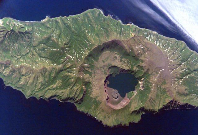
Caldera: Zavaritzki, Kuril Islands